
Walking a Findlay Street Record Trail
The useful unit in a Findlay address search is a parcel, not a claim that one public list names every person on a road. Start with a known street address in the Hancock County Auditor’s property system. The Auditor is the county’s stated first stop when the owner or legal description is unknown. Write down the owner-of-record lead, parcel identifier, situs address, legal description, and any sale clue the property card provides. Those details make the next search far more reliable than a street number alone, especially where similar numbers or older street forms could cause a false match.
- Search the address through the Hancock County Auditor’s Beacon property entry point and record the parcel, owner-of-record lead, property location, and legal description.
- Use the map or a known street address to keep the parcel in context. When Beacon will not load, the Auditor provides two public PCs and Real Estate/GIS staff at 419-429-7320 as an access fallback.
- Take the owner name and legal description to the Hancock County Recorder’s CountyFusion search. A Recorder search cannot be run by parcel number.
- Locate the relevant deed or other recorded instrument, then compare its seller, recording date, book or page, and legal description before following the next party backward.
- For a dated household clue, use the 1997 Polk Cross-Reference Directory and the historic directory collection through FHCPL. For a registration self-check, Ohio My Voter Information requires a name and county first, not an address-only browse.
That order keeps the address trail focused on what each office actually holds. A parcel owner, a deed party, and a registered voter are different records. They can support a careful address history when they agree, but none by itself creates a full household roster.
Hancock County Auditor information is the source for the first parcel step.
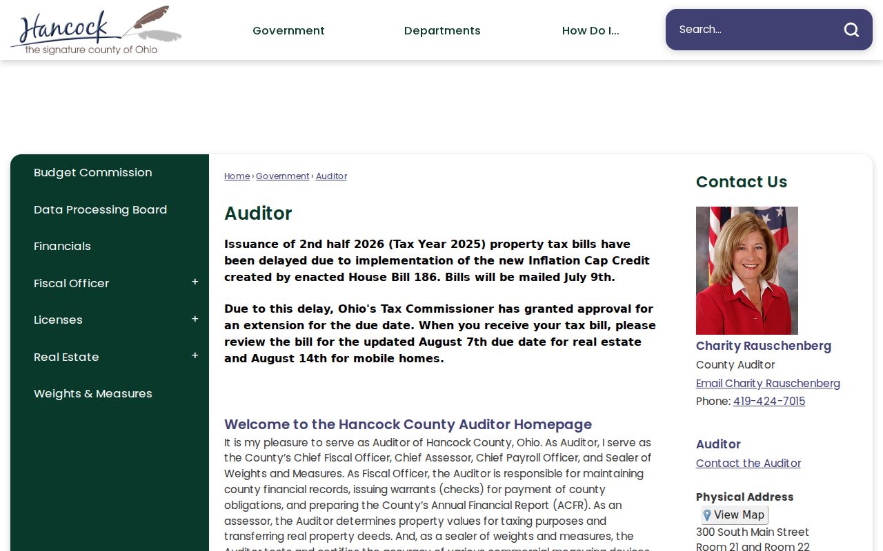
The Auditor image belongs at the beginning of the chain because the Recorder directs an unknown-owner searcher back to the Auditor for the owner and legal description.
Findlay Street Directory Record Coverage
Address-keyed material is distributed among Hancock County and City offices. The table separates an ownership or property clue from information that merely dates a change. Use the channel in the last column when the online screen is unavailable or when the record predates the published online coverage. That matters for a Findlay street directory search because a remote result can stop well before the physical record series does.
| Address record | Custodian | Street-level value | Online and fallback access |
|---|---|---|---|
| Parcel and assessment card | Hancock County Auditor | Owner lead, parcel, legal description, value, map, and sale clues | Beacon, two public PCs, or Auditor counter and GIS staff |
| Deed, mortgage, lien, or plat | Hancock County Recorder | Indexed parties, recording date, instrument number, book/page, and legal description | CountyFusion, counter, phone, or mail copy request |
| Tax and billing record | Hancock County Treasurer | Tax-bill and correspondence context | Treasurer counter or telephone; mailing address can differ from situs |
| Zoning parcel result | City of Findlay Zoning | Current zoning district for a city parcel | Address or parcel-number search; return to Auditor for parcel detail |
| Permit or complaint file | City of Findlay Zoning | Dated project, applicant, owner, or work-description evidence | Counter, form, or Ohio Public Records Act request |
| Road and project material | Hancock County Engineer | Street, road, township, section, and project context | Engineer public-record search |
The city system and the county system should not be treated as duplicates. City zoning confirms a zoning classification. The Auditor supplies the property trail. The Recorder connects parties and instruments through the legal description. The Treasurer manages bills and written tax-mailing changes. A permit file may help date work at an address, yet its applicant or contractor field is not proof that a person lived there.
Hancock County’s tax-bill explanation shows the kinds of tax context associated with a parcel.
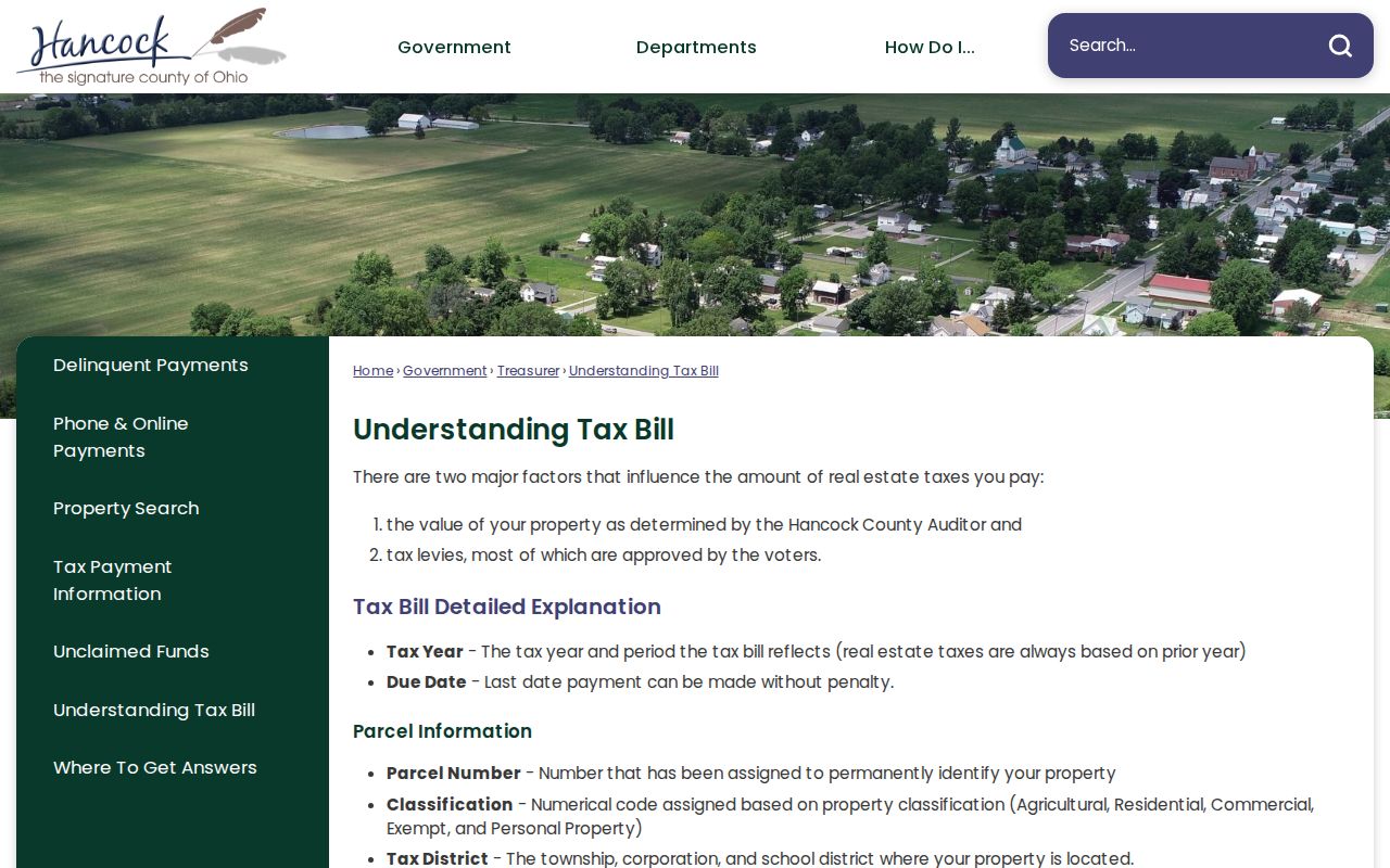
Tax-bill terms can help distinguish a parcel record from a person record, since the bill concerns property tax and its correspondence route rather than a census of residents.
Findlay Address Fields and Zoning
The City of Findlay’s Zoning Parcel Search has a narrow, documented role in an address workflow. It accepts an address or a parcel number, with one of those fields required. The result is a City zoning classification and the City directs sale-information users to the Auditor. It is useful for checking whether a particular parcel appears in the City zoning database. It does not identify a resident or establish ownership.
| Findlay zoning field | Type | Required | Use in an address search |
|---|---|---|---|
| Address | Text | One of two fields | Checks a known City parcel by its street location. |
| Parcel Number | Text | One of two fields | Checks a parcel already identified through the Auditor. |
Published district choices include R1 through R4, C1 through C3, O1, M1, M2, MH, CD, I1, I2, and PMUD. A classification gives land-use context only. It does not answer who lives on a Findlay street, and it should never replace the parcel and deed sequence.
Note: Use an exact address or parcel number and a date range when asking the City for a permit, compliance certificate, site plan, variance, or related property file.
Findlay Street Deeds by Legal Description
CountyFusion is the Hancock Recorder’s free guest/public search after its disclaimer. Its All Names mode supplies a Name text field, party-type choices, name options, recorded-date fields, a document-type tree, and result-size controls. It also offers All Names, Instrument Number, Book/Page, Condominium, Subdivision, Township, and Historical Indexes modes. Enter an individual last name first. Use a business name in ordinary order. These choices make a party-and-document search possible after the property record supplies the correct legal-description bridge.
| CountyFusion control | Verified format or choice | Why it helps a Findlay street search |
|---|---|---|
| Name | 50-character text field | Search a confirmed owner or recorded party. |
| Party Type | Both, Party 1, or Party 2 | Refines a party search after examining a deed role. |
| Name Options | Exact, Alpha-Numeric Only, Similar, or Surrounding Names | Helps test spelling variation without treating a near match as proof. |
| Recorded Date | From and To in mm/dd/yyyy | Limits a deed search around a known transfer period. |
| Document Types | Selectable tree | Lets a searcher narrow to a deed or another recorded category. |
A visible Recorder result can show Instrument #, Book, Page, Document Type, party codes and names, Recorded date, Legal Description, added-party text, and related information where present. Compare the legal description with the Auditor record before moving to the seller’s acquisition. CountyFusion is oriented to names, documents, and legal descriptions, not to a whole-street parcel census.
Hancock County Recorder coverage and access information explains the record custodian’s alternatives.
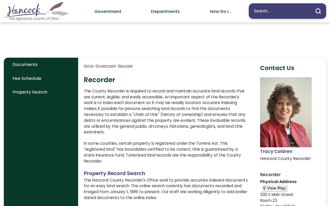
The Recorder capture reinforces why an address lead must be translated into an owner name and legal description before the deed index can be used well.
Findlay Street Directory Address Types
Several address labels can appear in a property trail, and they should not be collapsed into one fact. A parcel is the county’s unit of property identification. A situs address is the physical location used for the property, Auditor, map, and zoning context. A mailing address is where Treasurer correspondence is sent. A plat is a recorded map or subdivision reference that can help tie a lot to its legal description. The last two points are especially useful when a familiar street number is absent from an older instrument.
- Parcel
- A county property identifier that helps locate the card and map context, but the Recorder does not search by this number.
- Situs address
- The physical parcel location. It is the address used to begin a Findlay street directory search.
- Mailing address
- The tax-correspondence route, which may be different from the situs and does not establish physical occupancy.
- Criss-cross directory
- An address-to-name directory arrangement. Hancock County has a verified 1997 Polk Cross-Reference Directory, not a claimed universal run.
The Treasurer says a tax-mailing change must be written, signed, and list every affected parcel under R.C. 323.12. That procedure is a strong reason not to turn a mailing route into a statement about who lives at the property. Keep the description, lot, subdivision, and book/page together while comparing records.
Hancock County Treasurer information is the official source for tax-bill management and mailing-address changes.
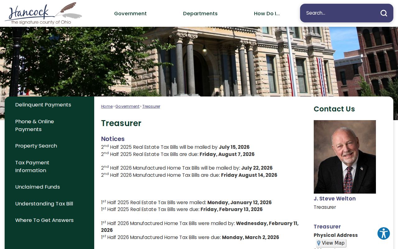
The Treasurer image belongs after the address definitions because its records concern taxes and correspondence, which are distinct from ownership and household evidence.
Findlay Street Directory in 1997
For a historical Findlay address, the verified 1997 Polk Cross-Reference Directory is the local address-to-name layer. It can provide a lead for that directory year, then a regular city directory, deed, tax, or census record can test the lead in its proper era. The Findlay-Hancock County Public Library keeps local history material in a non-circulating collection. Its remote research-request route is limited to indexed or digitized FHCPL resources, while on-site use reaches additional local collections and microfilm.
The four digitized Findlay city-directory editions are 1879, 1888, 1892, and 1902. They are not an annual run. The 1902 Wiggins directory is useful for reading an older household entry, but use it only to connect a particular address-time question. The collection detail and how to read its entries belong with the Findlay city directory collections.
Note: A directory entry is period evidence and may omit a person, use a variant spelling, or reflect the publisher’s coverage rather than every person at the address.
Findlay Street Records Before 1985
January 1, 1985 is the key access divide in a Hancock County street history. The Recorder verifies online recorded documents and images from that date forward. Historic indexes remain viewable online, but documents recorded before 1985 require an office search. A search that finds an earlier index entry has found a lead, not a promise of a remote image. Bring the party name, book/page, legal description, and date range to Recorder staff for old deed-book or certified-copy research.
Historical Indexes in the guest tree expose deed-index branches for 1936–1990, grantor lease branches for 1902–1977, grantor lien/lease/miscellaneous branches for 1928–1990, and later grantee lease/lien-related branches. These date spans give a Findlay street directory researcher several ways to locate a transaction, yet a lien or lease clue is not the same as ownership. Check plats and subdivision references as part of the deed work. The Recorder directs tax-map and survey questions to the County Engineer.
Findlay Streets in Engineer and Permit Files
A street history can need road context as well as ownership context. The Hancock County Engineer search provides Project, City/Village, Township, Section, Road, Street, Ditch/Tributary, Date, and Description filters. Township plus Section or Township plus Road can be combined. Results are useful for development or roadway context, not for naming current households. A City zoning request can also seek permits, compliance certificates, site plans, variances, or related files kept under §1165.04.
Give the City an exact address or parcel, a date window, and the type of document wanted. The form material indicates that a file can contain construction location, property-owner, contractor, applicant, role, property use, work description, and signature/date. It is dated project evidence. An applicant or project contact should not be presented as a permanent resident lead.
Limits of a Findlay Street Directory
A street-level record trail has firm boundaries. A Recorder party is a party to an instrument, not every person at the property. A tax mailing address can be far from the situs. Zoning reports land-use classification, not people. A permit may name people connected with a project, not everyone connected with an address. A GIS display is mapping context rather than a legal survey. Ohio My Voter Information begins with first name, last name, and county, then can offer a street-name narrowing field; it is not an address-only public browse.
Ohio public-record access under R.C. 149.43 is subject to exemptions. Voter records have statutory protections, including confidential participant records. Safe at Home participants may use substitute-address protections, and DMV information is restricted under federal law. When an online system does not answer the question, use the relevant counter, telephone line, research request, or Ohio Public Records Act request instead of attempting to infer withheld information.
Lawful personal use. Findlay street records can support family history, property research, estate work, and civic curiosity. Do not use an address trail to stalk, harass, threaten, or harm anyone, and respect confidential or protected records.