
Findlay Neighbors Block Sources
A block search works best when each source is asked one question. The Auditor map/property card supplies nearby parcel context and an owner or legal-description lead. Recorder material identifies recorded interests and party history for a particular parcel. Zoning supplies land-use classification. None of those sources is a list of everyone who lives on the block. Hancock County records are especially useful for moving from a known address to the next official record, then checking what the next record actually proves.
| Source | What It Shows About a Block | Access |
|---|---|---|
| Auditor map/property card | Nearby parcel context plus owner and legal-description leads. | Beacon or Auditor public PCs; the owner is not necessarily the current occupant. |
| Recorder index | Recorded interest and historical party chain for each parcel. | Guest portal; earlier document copies come from the Recorder. |
| City zoning | Parcel district and map context. | Address or parcel lookup; no people information. |
| Engineer records | Street, road, township, section, ditch, and project clues. | Fielded public-record search. |
| Voter records | Public registration information under statewide rules. | Name-and-county route only; protected records remain confidential. |
Start with a confirmed address, not an assumed household name. A tax mailing address can differ from the property’s situs, meaning physical parcel address, and neither address proves every current household member.
Map a Findlay Block by Parcel
The defensible block method begins at one confirmed parcel in Hancock County Auditor/Beacon and expands only to contiguous or nearby lots visible in the map context. Beacon is the county property and GIS entry point, but its hosted interface was access-gated during research. County sources verify the owner, parcel, sale-clue, and legal-description role. They do not verify every current map control or search field. The Auditor’s public PCs and Real Estate/GIS staff are the fallback when the screen will not load.
- Find the known address in the Auditor/Beacon route and record the parcel, owner-of-record lead, situs address, and legal description.
- Move to the contiguous or nearby parcels shown on the map and record each separate parcel’s owner and legal-description lead.
- Compare the lot, subdivision, plat, or legal description before treating two similar street numbers as the same land.
- Search each owner or legal description separately in Recorder material. The Recorder does not search by parcel number.
- Use zoning or Engineer records for land-use and road context, not to identify residents.
The flow is address → parcel context → owner/legal description → Recorder party or document search. It describes surrounding land records, not a complete list of Findlay neighbors. For a full named-street sequence, the Findlay street directory follows the broader by-address process.
Note: A GIS display is mapping context and is not a legal survey of property boundaries.
Findlay Neighbor Parcel Deed Leads
Each adjacent parcel becomes a separate Recorder question. The Hancock County Recorder CountyFusion search has All Names, Instrument Number, Book/Page, Condominium, Subdivision, Township, and Historical Indexes modes. In All Names, the published mechanics include a Name field, party choices, name options, date fields, document types, and result sorting. Individual names use last-name-first order; business names use ordinary order.
Recorder result rows can show instrument number, book, page, document type, party-role names, recorded date, and legal description. Compare the legal description instead of relying on street number alone. Online document images are verified from January 1, 1985 forward. Historic indexes are online, but an older document or assisted copy needs the Recorder’s counter, phone, or mail channel at 300 S. Main St., Room 23, Findlay, or 419-424-7091.
- Parcel
- A county land unit used for property and tax records. It is a starting point, not a list of occupants.
- Legal description
- The lot, subdivision, township, or other land description that connects a parcel to a recorded instrument.
- Plat
- A recorded map showing a subdivision or other land division. It can help compare nearby lots.
- Indexed party
- A person or entity recorded in an instrument. An indexed party is not proof that the person currently lives at the parcel.
Findlay Neighbor Zoning Context
The Findlay Zoning Parcel Search offers two stated routes: Address and Parcel Number. One is required. It returns a City zoning classification and directs anyone seeking sale information or parcel detail back to the Hancock County Auditor. Use it to confirm that a parcel appears in the City zoning system and to understand land-use context around a block.
Published district options include R1, R2, R3, R4, C1, C2, C3, O1, M1, M2, MH, CD, I1, I2, and PMUD. A district code describes zoning classification, not the people at an address. City Zoning also keeps permits, compliance certificates, site plans, variances, and related records. A request should state the exact address or parcel, date window, and document type. Historic online result coverage was not located.
Permit and complaint files can provide dated project or property-file context. Their forms can include owner, contractor, applicant, location, work description, and date. Those names connect to an application, not necessarily to every Findlay neighbor at the property.
Findlay Neighbors and Voter Rules
Ohio My Voter Information is not an address-browse tool for nearby residents. Its initial search requires First Name, Last Name, and County, with Hancock selected for Findlay. Street Name appears after an initial search as a conditional narrowing field. The tool can check registration and precinct or polling-place information. It does not produce a block list and does not reveal ballot selections.
R.C. 3503.15 governs the statewide database, while R.C. 3503.13 keeps sensitive identifiers and protected records out of ordinary public disclosure. Public voter information can include defined registration fields subject to exemptions, but SSN, driver or state-ID numbers, email, telephone, confidential voter information, protected-worker addresses, proof of citizenship, and other closed data are excluded. A public non-match can reflect protected status rather than an error.
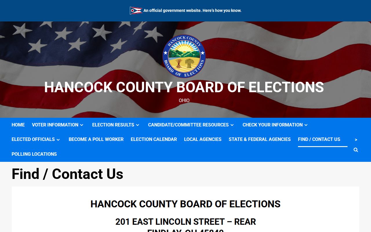
The Hancock County Board of Elections is the local fallback for file-format and request questions. It is at 201 E. Lincoln St., Rear, Findlay 45840, phone 419-422-3245, with regular hours 8:30–4:30.
The local contact information appears in the Hancock County Board of Elections source below.
Ask the Board for an explanation of a public record or format, not for sensitive identifiers or a way around a confidential voter record.
Findlay Neighbor Street Context
The Hancock County Engineer public-record search gives a different kind of block context. Its published filters include Project, City/Village, Township, Section, Road, Street, Ditch/Tributary, Date, and Description. Township plus Section or Township plus Road can be combined. These are useful for road, section, and project history around an address, not for identifying a household.
For incident context, Citizen Connect searches geographic incidents by date range and location. The City says it excludes names and exact addresses, while returning incident type, report number, and date/time. That makes it a context source for a block, not a neighbor lookup. Keep the distinction between a public event map and information about private people.
City public-records requests are the fallback for a specific permit, complaint, or City-held file that is not posted. Under the Ohio Public Records Act, R.C. 149.43, describe the address, date range, department, and record type so the custodian can identify the responsive material.
Findlay Neighbors Roster Gap
No official Findlay umbrella neighborhood-association directory, HOA directory, or public member roster was found in the research. That gap is important. It means there is no supported source for claiming that association members or all nearby households can be searched as a public roster. Parcel-by-parcel records remain the supported local route for property context.
The Findlay-Hancock Chamber directory is available for voluntarily listed organizations. It supports keyword, category, alphabet, and ZIP searching. It is not a directory of private households or a substitute for an association roster. The City Council page can supply ward maps, agendas, minutes, public official contacts, and civic geography, but it is likewise not a block resident list.
Findlay Neighbors Official Records Compared
Official sources and commercial neighbor-lookup tools serve different purposes. An official source identifies its custodian, record type, and access limits, and it has a counter or request route when the online layer stops. Commercial tools can combine public and other data, but may be incomplete, stale, unclear about source date, or unable to explain a protected-record omission. No commercial service replaces a Hancock County custodian’s record.
| Official local route | Unlinked commercial neighbor tools |
|---|---|
| Shows a defined parcel, recorded document, zoning district, voter rule, or City file with a named custodian and access limit. | May combine data from many sources, with variable accuracy, update timing, and explanation of record origin. |
| Offers a specific fallback such as a counter, telephone contact, public PC, or records request. | Cannot substitute for a protected record, verified Recorder copy, or official explanation of an omission. |
For a block question, use the source closest to the claim. Verify a property lead with the Auditor and Recorder. Verify a City-file lead with the City custodian. Treat a result that conflicts with an official record as a reason to check the custodian, not a reason to infer more about Findlay neighbors.
Findlay Neighbor Privacy Limits
Public access in Ohio has real edges. The Ohio Safe at Home program serves eligible survivors who fear for safety and provides a substitute address for voter registration, government correspondence, and other official records. R.C. 111.41–111.47 governs the program. A participant’s actual address and precinct can be protected in voter records, and a Real Property Confidentiality Notice can protect covered real-property information for eligible participants.
Ohio also provides targeted online redaction under R.C. 149.45 for listed sensitive identifiers in a public record. This is not a broad deletion right for valid county records. DMV information is restricted, court records can be confidential or sealed, and utility or delivery records are not public neighbor data. Stop when a result is protected or does not support the conclusion sought.
Note: A property owner, Recorder party, zoning applicant, or tax mailing contact is not proof of every person living at an address.